
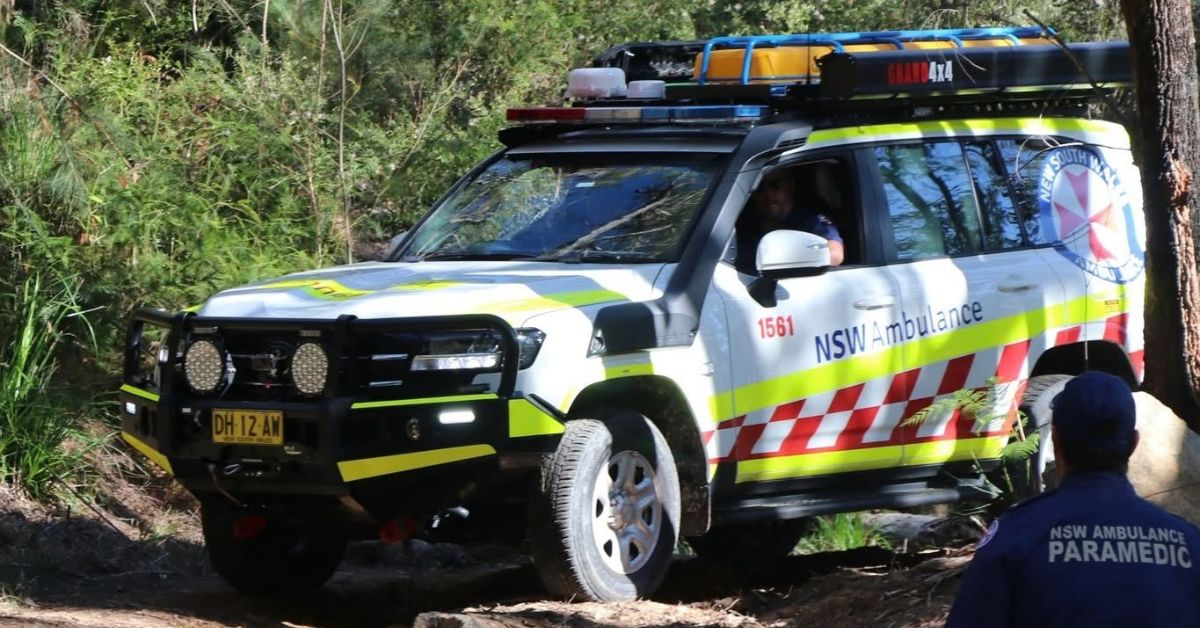
Ingleside Twilight Bike Rescue Sees Rider Carried Out Of Bush After Trail Fall

The Ingleside twilight bike rescue began just after 4.30pm on Friday. A mountain bike rider was injured after a fall on the Blackalicious trail near the Wakehurst Parkway at Ingleside.


Reports from the scene said the 47-year-old man was riding with others. He came off his bike on a steep section and suffered a suspected broken leg.

It was the kind of call that can turn tricky fast. Once the rider was down, crews had to move quickly before dark settled in.

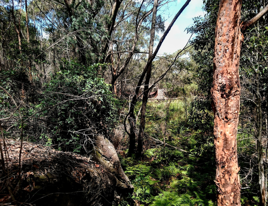
Callers guided crews into the bush

Triple Zero callers gave emergency crews their exact location in the bush. Even so, they still had to come out to the Wakehurst Parkway and flag where responders should stop.

That kind of detail makes a difference. Remote bush tracks can be hard to reach, especially when there is no clear street address.

Intensive Care Paramedics then walked about 300 metres into the bush to reach the rider. They assessed his injuries and found he was conscious and alert.

However, the lower leg injury meant he could not walk out on his own. Crews decided he needed to be carried out.

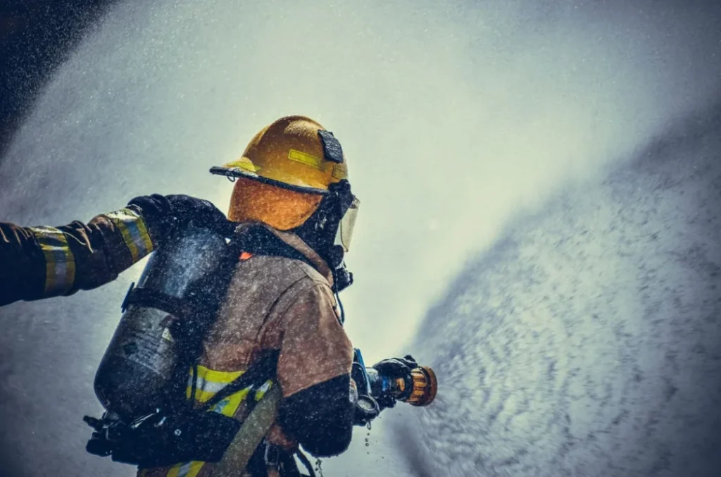
Narrabeen firefighters bring the mule stretcher

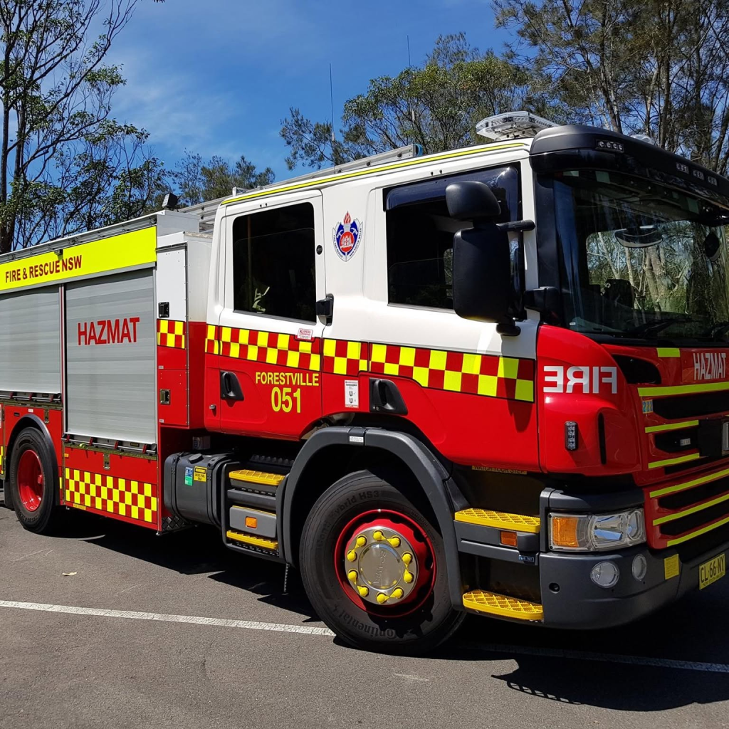
Firefighters from Narrabeen Station assembled their all-terrain mule stretcher. NSW Ambulance Inspector Shaun Kelly then guided the rescue team to the rider’s location.
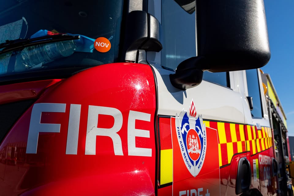
Photo Credit: Fire and Rescue NSW/FB

From there, the Ingleside twilight bike rescue became a steady carry-out through fading light. Emergency crews loaded the man into the stretcher and brought him back out of the bush with care.

The operation moved slowly, but it moved safely. That mattered on uneven ground, where one mistake could have made the injury worse.

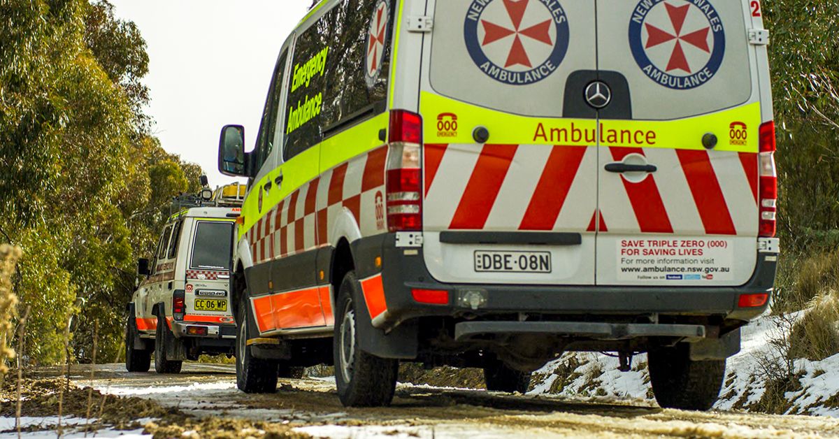
Back at the Wakehurst Parkway, crews transferred the rider into an Intensive Care Ambulance. They then took him to Royal North Shore Hospital in a stable condition just before 5.45pm.
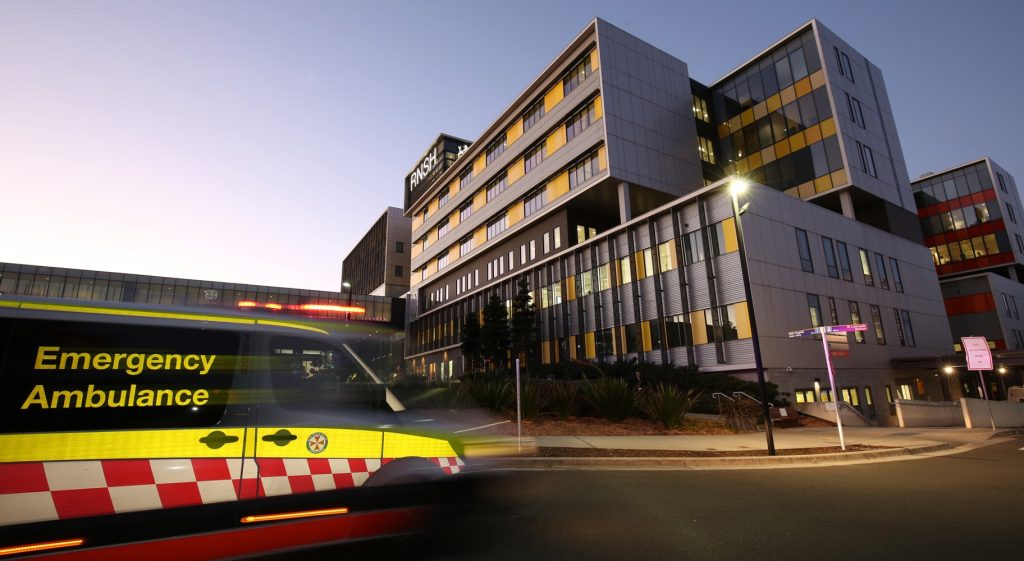
Photo Credit: Royal North Shore Hospital website

A reminder for bush riders and walkers

The rescue also points to a familiar truth across the Northern Beaches. Bush tracks, headland paths and beach walks can leave emergency crews searching for clues if people cannot explain where they are.

That is why location tools matter. Emergency Plus can help pinpoint a position fast when there is no street number to give.

For riders, walkers and anyone heading into remote country, that can save time when it counts. In this case, the quick response and clear directions helped crews reach the rider and get him out before night fully closed in.


The Ingleside twilight bike rescue was a reminder of how quickly a routine ride can turn serious. It was also a reminder that local crews know this ground well, and they know how to work together when the light is fading.

Published 22-September-2026
Ingleside House Fire Treated As Suspicious After Home Destroyed

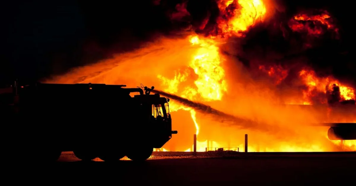
A two-level weatherboard home on Ingleside Road has been destroyed in an Ingleside house fire being treated as suspicious, with police inquiries under way after firefighters found nobody inside.


Emergency crews were called shortly before 3:30pm on Sunday, 23 August, after several Triple Zero calls from residents reporting loud popping sounds and flames coming from the windows. A large column of black smoke was visible to crews as they approached the property.

Fire and Rescue NSW crews from Mona Vale, Narrabeen and Dee Why responded, along with NSW Rural Fire Service crews from Ingleside, Tumbledown Dick, Terrey Hills, Belrose and Davidson.

Crews Fight Ingleside House Fire From Outside

Fire and Rescue NSW personnel were first to arrive and found the two-level weatherboard building engulfed in flames. With the structure considered too dangerous to enter, crews established a defensive perimeter and connected hose lines to street hydrants.

Water was directed into the house through the windows before incoming RFS crews joined the operation. The combined use of multiple hose lines brought the blaze under control, although the timber-framed home had already sustained extensive fire damage.

After the blaze was brought under control, firefighters turned their attention to checking whether anyone was inside. An extension ladder was used to reach the second level and search for signs of anyone trapped in the building, but nobody was found.

Neighbours had indicated the property had been unoccupied for some time. An early update from the scene also reported no apparent injured parties.

Firefighters were later warned that asbestos roofing material had contaminated the area.

Ingleside house fire
Photo Credit: Pexels

Police Begin Inquiries At Ingleside

Wattle Road provided the best access to the property, and police closed the section between Ingleside Road and the Sydney Water facility while the emergency response continued.

The cause of the fire had not been determined, but the blaze was being treated as suspicious. Detectives from Northern Beaches Police Area Command attended and began inquiries into the circumstances.


By about 5pm, the fire had been fully extinguished and Fire and Rescue NSW crews had left the scene. Rural Fire Service crews remained to extinguish remaining hot spots and took control of the scene to watch for any reignition overnight.

Published 25-August-2026

Residents Push Back As Ingleside Housing Proposal Advances

A 28-hectare semi-rural pocket of Ingleside could be turned into a 536-home estate, with residents objecting to the scale of the proposal, bushfire evacuation risks and the pressure it could place on local roads and infrastructure.


A large section of semi-rural land at Ingleside has been earmarked for a new residential estate with houses, terraces and apartments.

The proposal covers 18 properties in the Wilga Wilson Precinct, across land at 1–9 Wilson Avenue, 7–14 Wilga Street and 212–222 Powderworks Road.

The precinct sits east of Monash Country Club and is bounded by Powderworks Road, Wilga Street and Wilson Avenue.

Wilga Wilson Precinct map
Photo Credit: PEX2025/0001

Mirvac and Truslan own seven of the 18 lots involved in the proposal. The remaining lots are privately held, with one owned by St Sava Serbian Orthodox Church.

If approved through the required planning steps, the estate would include about 536 homes. The housing mix would comprise 133 detached houses, 210 terraces and 193 apartments, with apartment buildings reaching up to six storeys.

The proposal would shift the site from semi-rural holdings to a denser residential precinct, with the developers seeking changes to the Pittwater Local Environmental Plan to allow residential development on the land.

Locals Object to Scale and Safety Risks

The proposal has drawn strong local opposition, with close to 570 submissions received when it was put forward for comment.

Only 39 submissions supported changing the planning controls to allow the subdivision.

Residents raised concerns about bushfire evacuation, ember attack, traffic, infrastructure pressure and the possible loss of Ingleside’s semi-rural character.

Ingleside semi-rural land
Photo Credit: PEX2025/0001

The precinct is less than a kilometre from Garigal National Park, adding to concern about how residents would leave the area during a bushfire emergency.

Concerns were also raised about access to high-frequency public transport and whether existing community infrastructure could support housing at the proposed scale.

NBC did not support the proposal at its meeting on 17 February 2026, after the planning proposal was submitted on 5 August 2025.

Panel Recommends Next Planning Step

The Sydney North Planning Panel has recommended the proposal proceed towards a Gateway determination, which would allow it to move closer to public exhibition.

The panel also recommended further work on the proposal, including housing types, affordable housing, building heights, development controls and the delivery of critical infrastructure.

The recommendation does not approve construction of the estate. Further planning steps would still be required before any homes could be built.

Proposed Ingleside housing estate
Photo Credit: PEX2025/0001

Developers Say Risks Have Been Considered

The developers’ masterplan states that bushfire risks and evacuation requirements have been considered in the design of the proposal.

It also states the road network has been designed to allow the site to be evacuated promptly.

The proposal has also been presented as a response to housing demand, with a mix of detached homes, terraces and apartments planned across the precinct.


An earlier Ingleside housing plan that would have allowed close to 1000 new homes was scrapped in 2022 after concerns were raised about bushfire evacuation, traffic, transport and the cost of public infrastructure.

The Wilga Wilson Precinct proposal now remains subject to further planning assessment before any redevelopment of the land could proceed.

Published 25-June-2026

Mountain Biker Rescued After Crash in Ingleside Bushland

Emergency services rescued a 49-year-old mountain bike rider from bushland near Deep Creek off Wakehurst Parkway, after the man came off his bike at around 25km/h and was thrown into a tree, landing five metres off the trail in steep bush.


The incident happened shortly after 10.30am on Sunday 7 June on a trail at Mt Narra near the Wakehurst Parkway at Ingleside. The man had failed to negotiate a turn near the bottom of a trail known as Happy Endings and was thrown from his bike into a tree, coming to rest around five metres off the trail in bush.

He had been wearing full protective gear including a helmet, and was conscious. He told paramedics he had significant pain in his back.

A multi-agency response involving a rescue helicopter

NSW Police, Fire and Rescue NSW crews from Narrabeen and Forestville stations, three NSW Ambulance crews including NSW Ambulance Inspector Carolyn Parish, and the Toll NSW Ambulance Rescue Helicopter were all tasked to the scene.

The rescue helicopter landed on a football field at the Sydney Academy of Sport and Recreation just after 11am, and officers from Northern Beaches Police Area Command brought the aeromedical team the short distance to the compound.

Despite the remote feel of the location, the site was relatively accessible. The man had come off his bike only metres from the end of the trail, close to an area known as the compound around 100 metres along the Caleyi Trail off the Wakehurst Parkway, which was accessible by ambulance vehicles.

Friends of the man guided ambulances into the compound, and although the rider was within line of sight, paramedics assessed that he would need to be carried out.

Careful extraction from a steep slope

The medical team assessed the man for a potential spinal injury and took precautions to keep him immobilised during extraction. Specialist rescue firefighters from Narrabeen Station used an all-terrain wheeled stretcher known as a mule to carefully navigate the steep trail down to the compound, where he was placed onto an ambulance stretcher for further assessment.

Photo Credit: Trailforks

Satisfied the man was in a stable condition, the medical team determined they did not need to accompany him to Royal North Shore Hospital. He was loaded into an intensive care ambulance, which departed shortly after 11.30am.

How his friends made the rescue faster

Fellow mountain bike riders were thanked by rescuers for their assistance and, critically, for being able to rapidly identify their exact location using the Emergency Plus app on their mobile phones.

This detail matters in a bushland setting where there are no street addresses and GPS coordinates are the only reliable way to direct emergency services. The Mt Narra trail network near Wakehurst Parkway sits in dense bush where even a short distance off a track can make a person difficult to locate without precise coordinates.

The Northern Beaches has seen multiple rescues from trails in this same corridor over the past year, reflecting how consistently busy the network is and how remote its terrain feels despite its proximity to suburbs.

The Emergency Plus app is free to download for iOS and Android. It provides emergency services with your GPS coordinates, street address or nearest intersection when you call triple zero, and works in areas without a defined address.


Published 10-June-2026

The Ingleside Firefighter Who Grabbed His Camera and Helped Save Lives

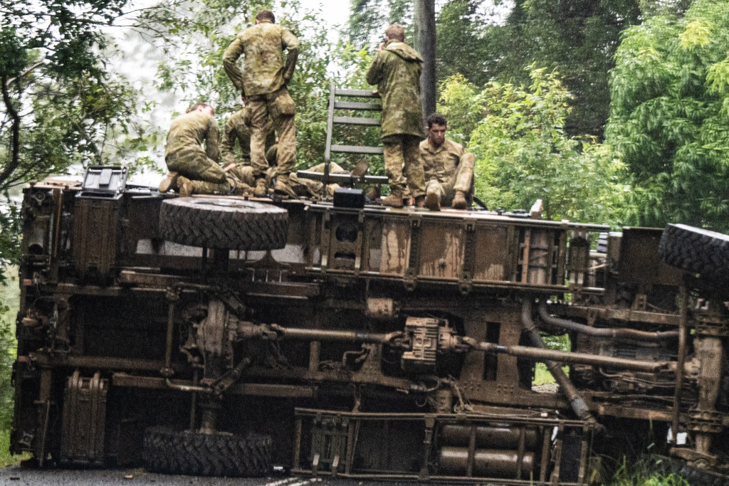
Nick Moir did not expect to find himself coordinating an emergency rescue on a rain-soaked back road near Lismore last year. But when the SMH chief photographer and Ingleside Rural Fire Brigade volunteer came across an overturned Australian Army troop transport with injured soldiers, his Rural Fire Service (RFS) training took over without hesitation.


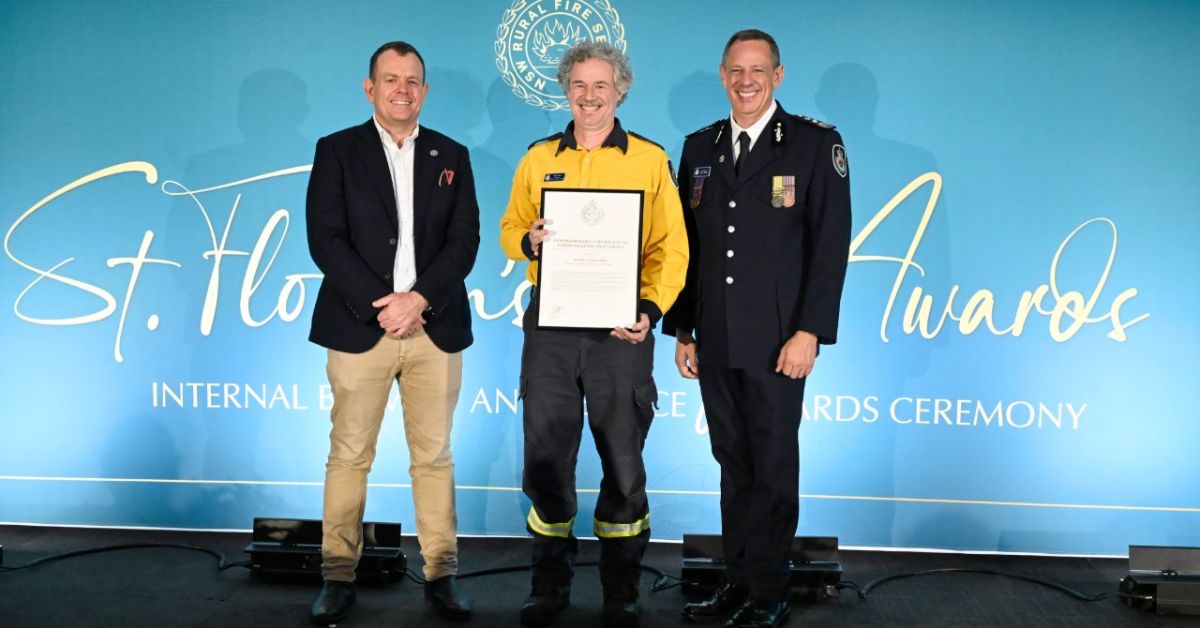
On 4 May 2026, St Florian’s Feast Day and International Firefighters’ Day, Moir received a NSW RFS Commissioner’s Certificate of Commendation (Individual) at the annual Bravery and Service Awards ceremony held at the NSW RFS Training Academy in Dubbo, recognised for his actions during the incident in March 2025.

For a man more accustomed to photographing disasters than being formally honoured for responding to one, the recognition was humbling. “I was very surprised and a bit embarrassed,” Moir said. “But I will be accepting it on behalf of not just myself, but those who have trained me.”

How a photographer became the first responder

Moir was in the Lismore region covering flood-relief efforts in the aftermath of ex-Tropical Cyclone Alfred, navigating isolated roads where flooding had cut the main routes to Coraki south of the city. Coming around a bend, he spotted something blocking the road and reached for his long lens to identify it.

What he saw stopped him cold. An Army troop transport was on its side, with soldiers on top looking dazed. He jumped out immediately.

“I jumped out and got to work calling Triple Zero and started making a situation report to RFS contacts,” Moir recounted. “It wasn’t a difficult decision to help and there was no quandary as to what I should be doing. When you do RFS training, a lot of the time they use the worst-case scenario. The effort that is put into training me was reflected that day.”

NSW RFS Commissioner Trent Curtin said that beyond calling Triple Zero immediately, Moir provided a precise GPS location for the incident and coordinated directly with the RFS, giving a detailed situation report that enabled the right resources to be despatched to the scene.

Using his first aid training and demonstrating exceptional resourcefulness and composure under pressure, Moir provided reassurance to distressed Australian Defence Force personnel of the Army’s 7th Brigade and prevented unnecessary movement of casualties until NSW Ambulance paramedics arrived.

A brigade with deep roots in the Northern Beaches

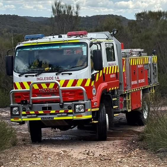
The Ingleside Rural Fire Brigade was formed in the early 1950s when a group of residents from the Tumbledown Dick Brigade came together to establish a dedicated service for the Ingleside community, and has been responding to emergencies on Sydney’s Northern Beaches ever since.

The brigade responds to around 100 operational incidents each year, including bush and grass fires, structure fires, vehicle accidents, horse rescues and storm damage, serving the communities of the Northern Beaches area and also assisting other brigades throughout the state with incidents from flooding to major bushfires.

The brigade has produced members of remarkable longevity and dedication, including Ronald Hughes who served as an active member for more than 50 years, holding roles as Captain, Senior Deputy Captain and RFSA Representative. Moir, as both a brigade member and an award-winning photojournalist, brings a distinctive combination of skills to the volunteer role, as the Lismore incident demonstrated.

The training that made the difference

Commissioner Curtin said Moir’s commendation recognised a profound commitment to the safety and wellbeing of others. For Moir, the recognition belongs as much to those who trained him as to himself.

“This is a reflection of those who have given up their time so I and other members can respond at any time to any incident with the mental tools to aid those around us,” he said.

Ingleside Rural Fire Brigade trains on the first Wednesday of each month, with general meetings on the third Wednesday. The station is at King Road, Ingleside. Anyone interested in volunteering with the brigade can contact them on (02) 9913 2230 or click here.


Published 20-May-2026

Mona Vale Fauna Bridge Prompts Calls To Protect Ingleside Bushland

Northern Beaches has a purpose-built fauna bridge meant to help native animals cross safely, but local residents and wildlife advocates say the structure, found in Ingleside, could lose much of its value if the bushland at its ends is not protected as a usable corridor. 


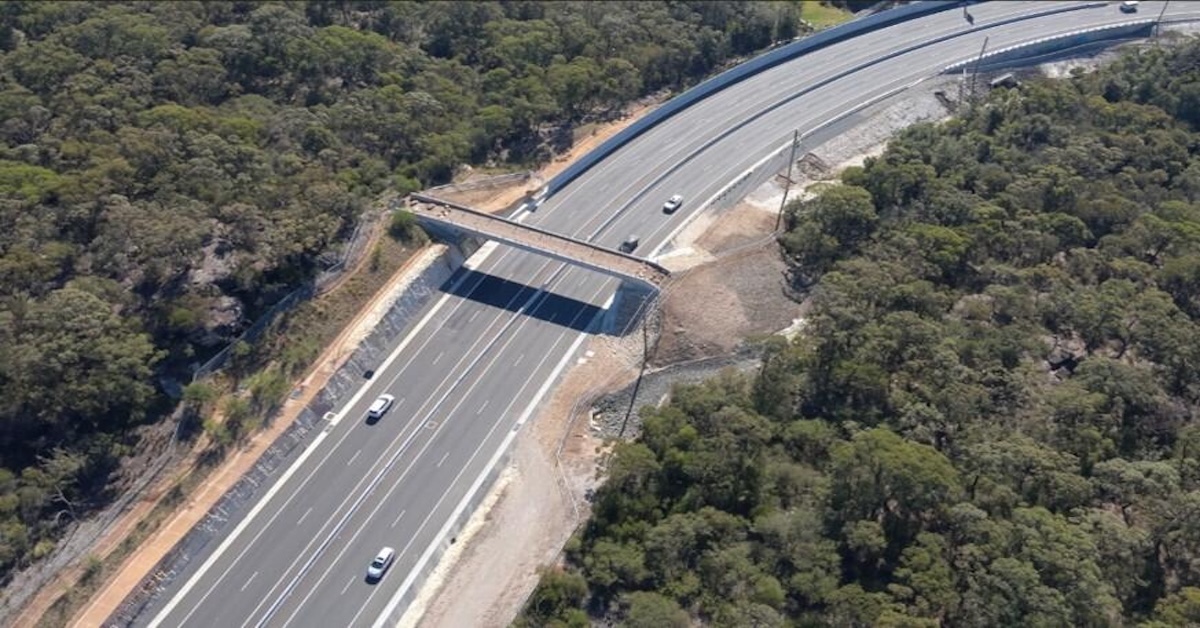
The concern follows the opening of the Mona Vale Road East upgrade in March 2024, which included two fauna crossings, a bridge and an underpass. These crossings link to a wider wildlife corridor between bushland near Ingleside and reserves and national park habitat to the north.

The fauna bridge sits along Mona Vale Road East near Ingleside. The project contractor describes the structure as a wildlife overpass designed to help animals move between habitats and reports that bandicoots and wallabies have been recorded using it. It has been pegged as Greater Sydney’s first fauna bridge.

What The Planning Strategy Says About Corridors

The draft land use and infrastructure strategy for Ingleside describes how roads and development can fragment habitat, and it outlines the role of fauna corridors and crossings in keeping bushland connected. In a section on proposed Mona Vale Road fauna crossings, it notes upgrades intended to improve fauna connectivity across Mona Vale Road East and links this to the broader corridor network through the Ingleside precinct.

That matters because the corridor concept depends on conditions outside the bridge itself. The same strategy explains that connectivity depends on aligning crossings with corridors throughout the precinct, rather than simply building structures over or under the road.

Why The Link Could Break Down

Community voices raising the alarm say the problem is not the engineering, but what surrounds it. The key point in both local reports is that if land near the ends of the crossings is developed or fenced in a way that blocks movement, animals may cross the road and then be stopped by backyard fencing and other barriers. There are calls for stronger protection of nearby land so the crossing connects to real habitat rather than dead ends.

Northern Beaches Council’s conservation zones review explains how environmental zoning is being reviewed and how evidence is used to inform where conservation controls should apply. While the council does not determine state planning outcomes on its own, its published material indicates that conservation zoning is part of the wider planning work underway across the area. 

Supporters of corridor protection say the issue is more than a single structure because many native animals rely on connected vegetation to find food, mates and shelter. The eastern pygmy-possum is listed as a vulnerable species in NSW under the NSW threatened species process, which is one reason conservation groups often point to habitat protection and connectivity as practical issues in local planning debates.

The Next Steps 

The next steps hinge on planning controls and how land near the crossings is treated as zoning work continues. Council information on the conservation zones review sets out how environmental zones are being assessed and discussed with the community. 

Residents and local groups backing corridor protection say their main goal is simple: keep the bushland link in place so the crossings continue to connect habitat on both sides, rather than becoming an isolated feature beside a major road.


Published 6-Feb-2026